AI-Enhanced Flood Recovery Initiative
This project aims to leverage drone imagery, satellite data, and AI models to provide timely and reliable support for flood recovery in Koshi Province by assessing crop damage, quantifying losses, and recommending recovery strategies.
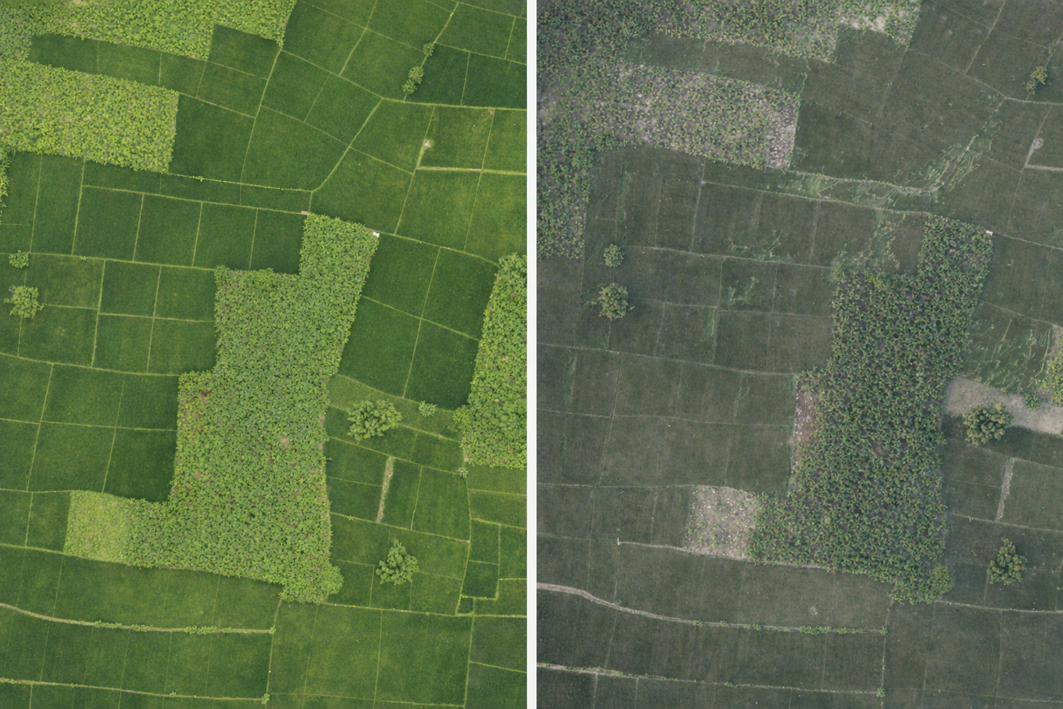
Recurring floods in Koshi Province devastate farmland, destroy harvests, and disrupt livelihoods. Traditional assessment methods for post-flood recovery are slow, limited, and lack precision, leaving farmers without timely or reliable guidance.
Our goal is to leverage drone imagery, satellite data, and AI models to provide timely and reliable support for flood recovery. Specifically, it focuses on assessing the extent of crop damage, quantifying farmers’ losses, and recommending recovery strategies. By incorporating soil condition analysis, the project also aims to suggest crop varieties better suited to post-flood environments, ultimately contributing to stronger resilience against future disasters.
The team is currently piloting the use of drone surveillance and satellite imagery to capture high-resolution data on flood-affected farmland in parts of the Terai region. Early efforts are focused on building and testing an AI-powered pipeline that processes this data to generate actionable insights.